
Section to manage rotor maps for rotor controls.
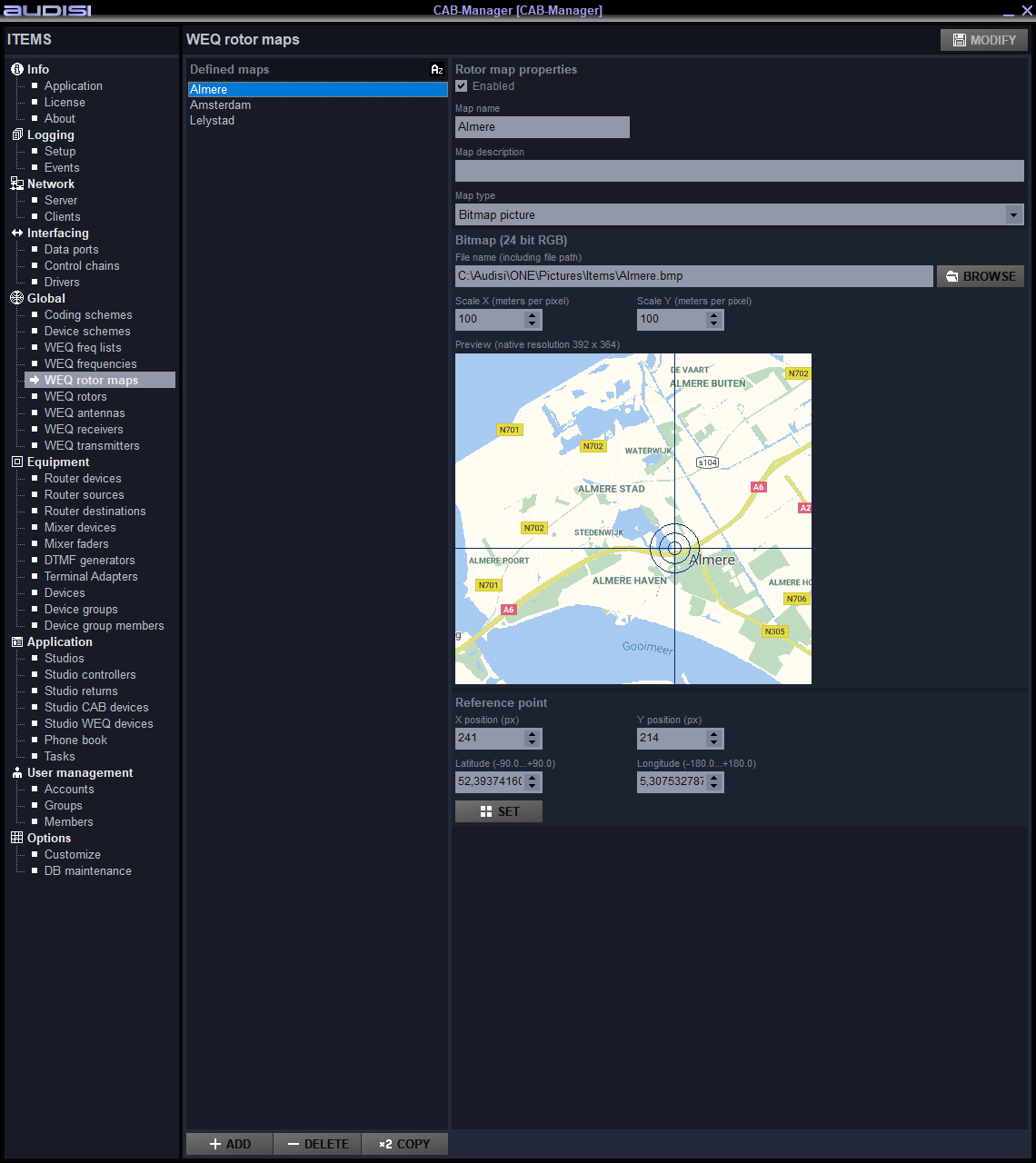
Defined maps
List of current rotor maps.
Rotor map properties
Enabled
To enable/disable this map.
Map name
Name of the defined rotor map.
Map type
Selector to select the map picture type. When Bitmap picture is selected:
Bitmap (24 bit RGB)
File name (including file path)
Path + file and a BROWSE button to navigate to the picture.
Scale X (meters per pixel) and Scale Y (meters per pixel)
Selectors to define the number of meters per pixel.
Preview (native resolution 392 x 364)
Preview of the map picture that …
Reference point
X position (px) and Y position (px)
Finetuning of the locator.
Latitude (-90.0…+90.0) and Longtitude (-180.0…+180.0)
Define the exact location of the rotor. Values in degrees.